Aneroid Lake
Low Point: 4645'
High Point: 7500'
Season: Summer/Fall
Difficulty: 3.71/5
Directions
From Joseph, follow the Wallowa Lake Highway to the south end of Wallowa lake, avoiding the right hand fork which goes to Wallowa Lake State park. The trail head is at the end of the parking lot.Trail Description
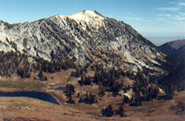
The trail starts at the southeast side of the parking lot. A very short distance up the trail forks; stay left. The trail then starts switch backing up the side of Bonneville Mountain offering great views ofWallowa Lake and Chief Joseph Mountain to the north and west.
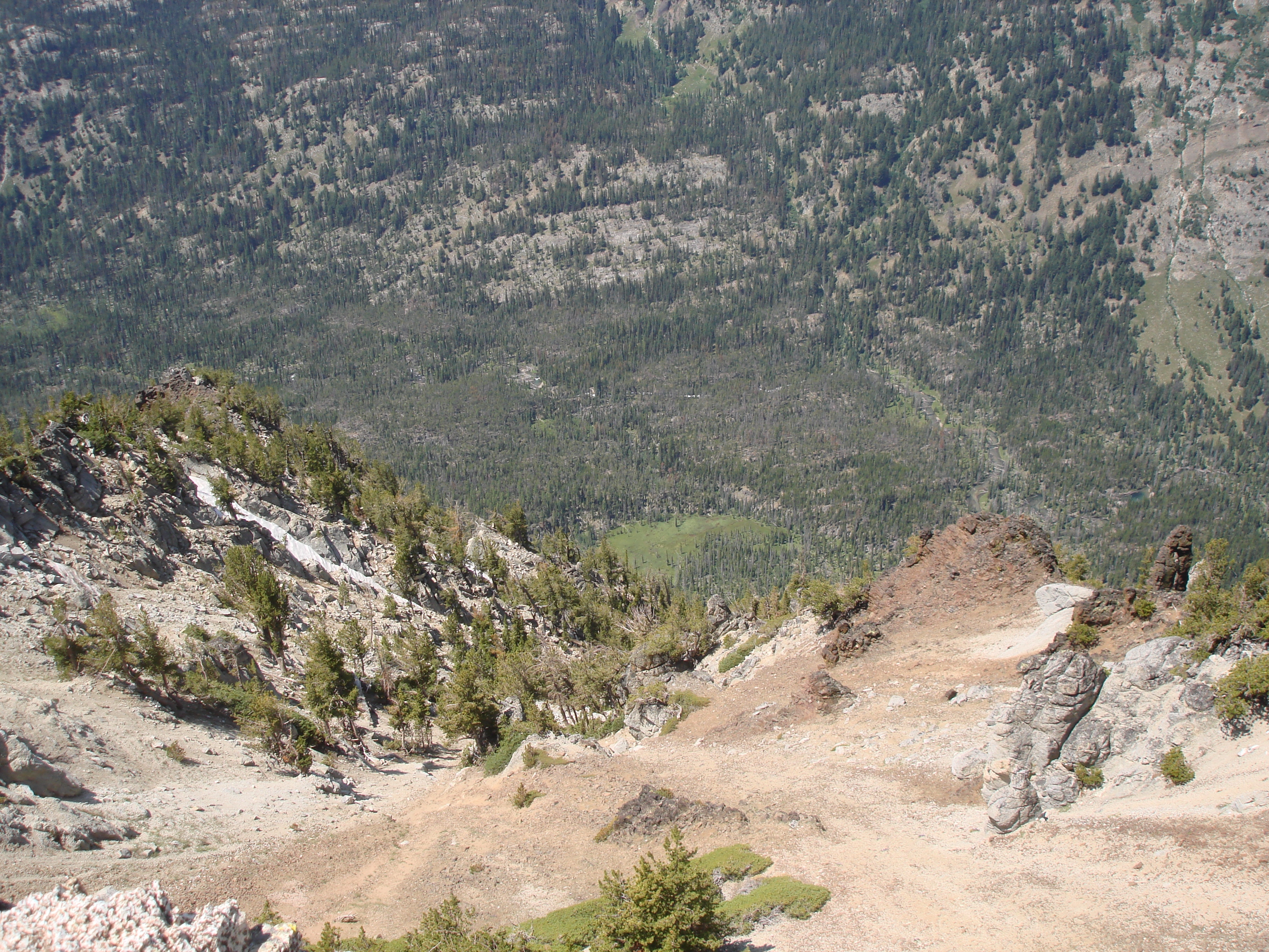
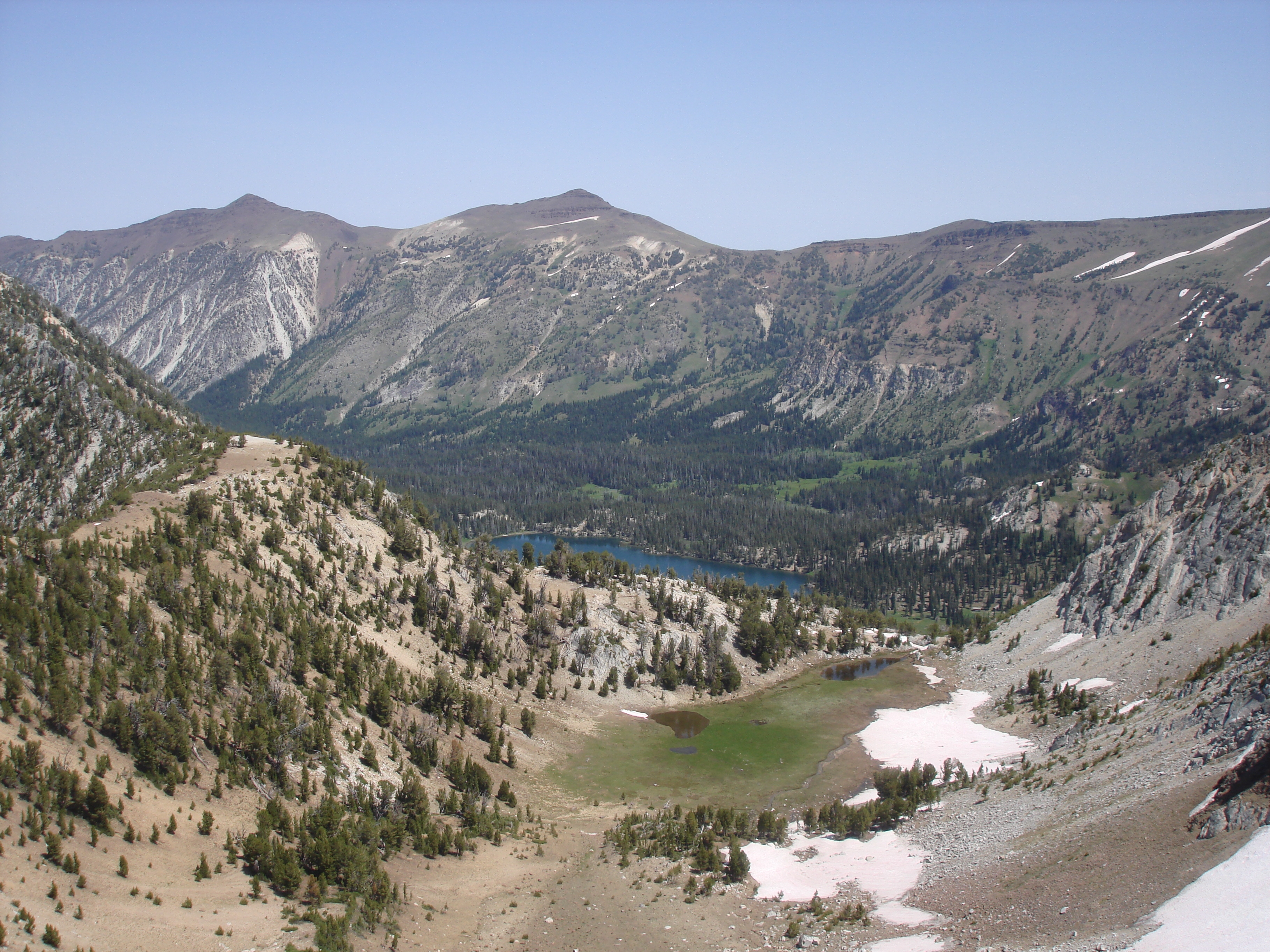
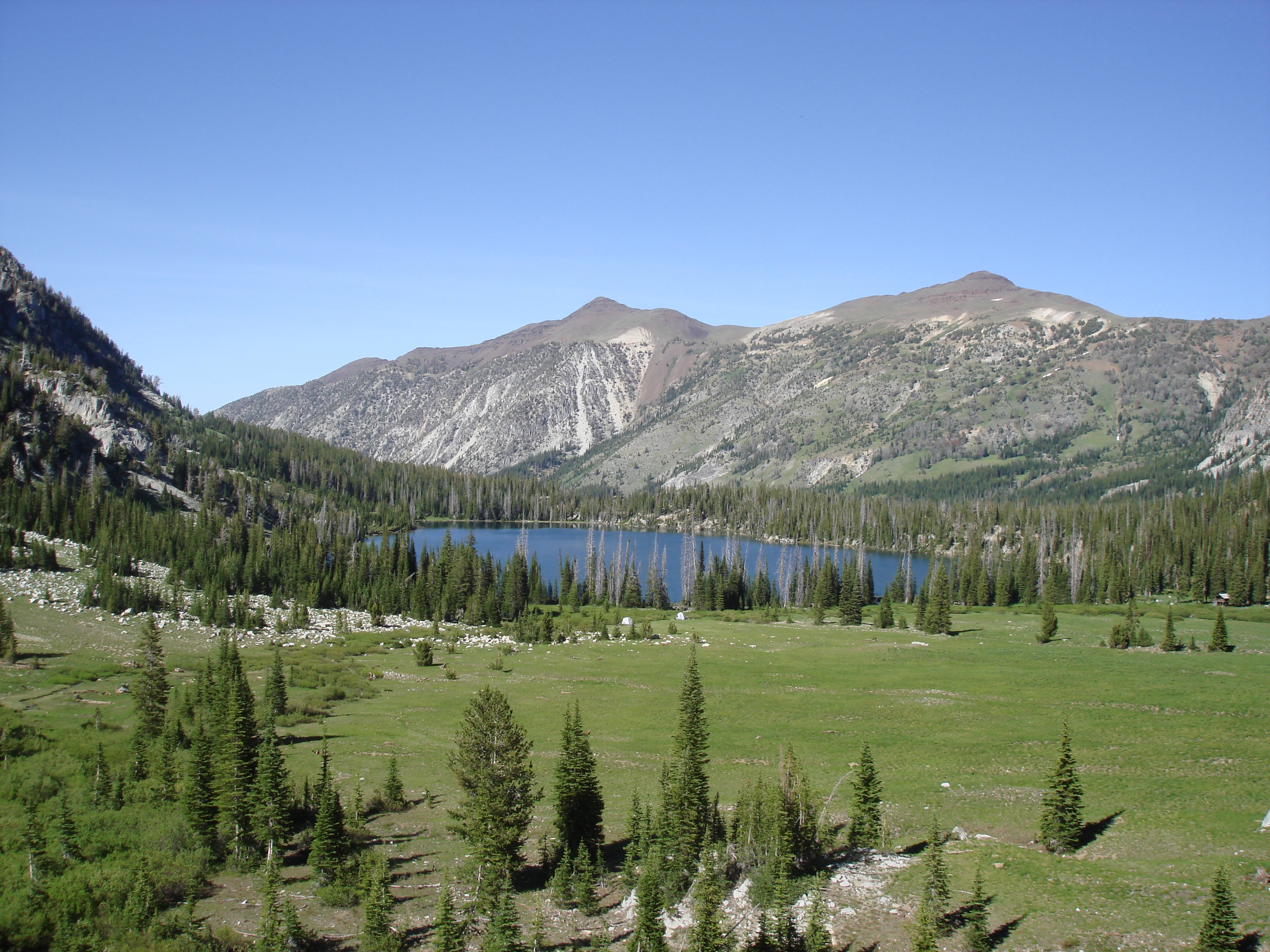
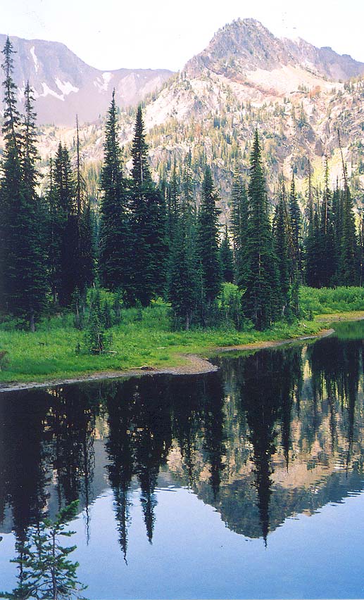
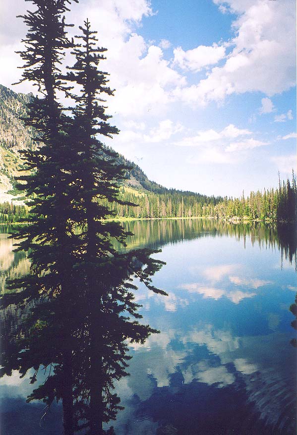
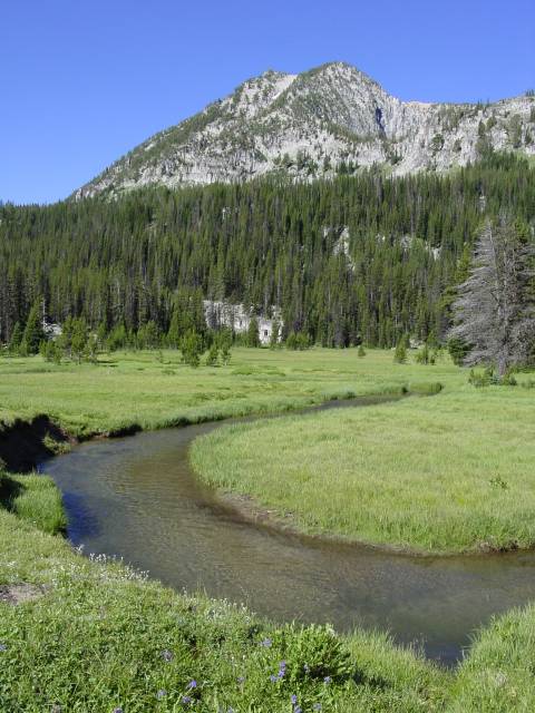
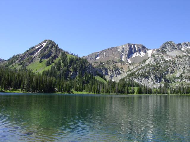
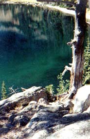
At two miles, the trail reaches a dam, and shortly thereafter, the wilderness boundary, where the views of the canyon and mountains open up. At 3.8 miles, the trail crosses the river on a nice bridge and then splits. Donsinglequotet worry, both trails end up at the same place, but the trail to the right is for inbound traffic, the one to the left for outbound. The trail stays high above the river here, but soon the terrain levels out, giving the river a chance to meander through some great meadows. The trail stays pretty level as it travels through these meadows until reaching Rogers Lake at 5.5 miles. A half-mile past Rogers Lake, lies Aneroid Lake, an Awesome Lake surrounded by Granite Ridges and Red Mountains. There are several great campsites around the lake, and plenty of spaces to explore around the area. There are also many places around the lake to just relax, such as a small sandy beach on the southern edge of the lake, as well as a nice meadow at the southern edge.
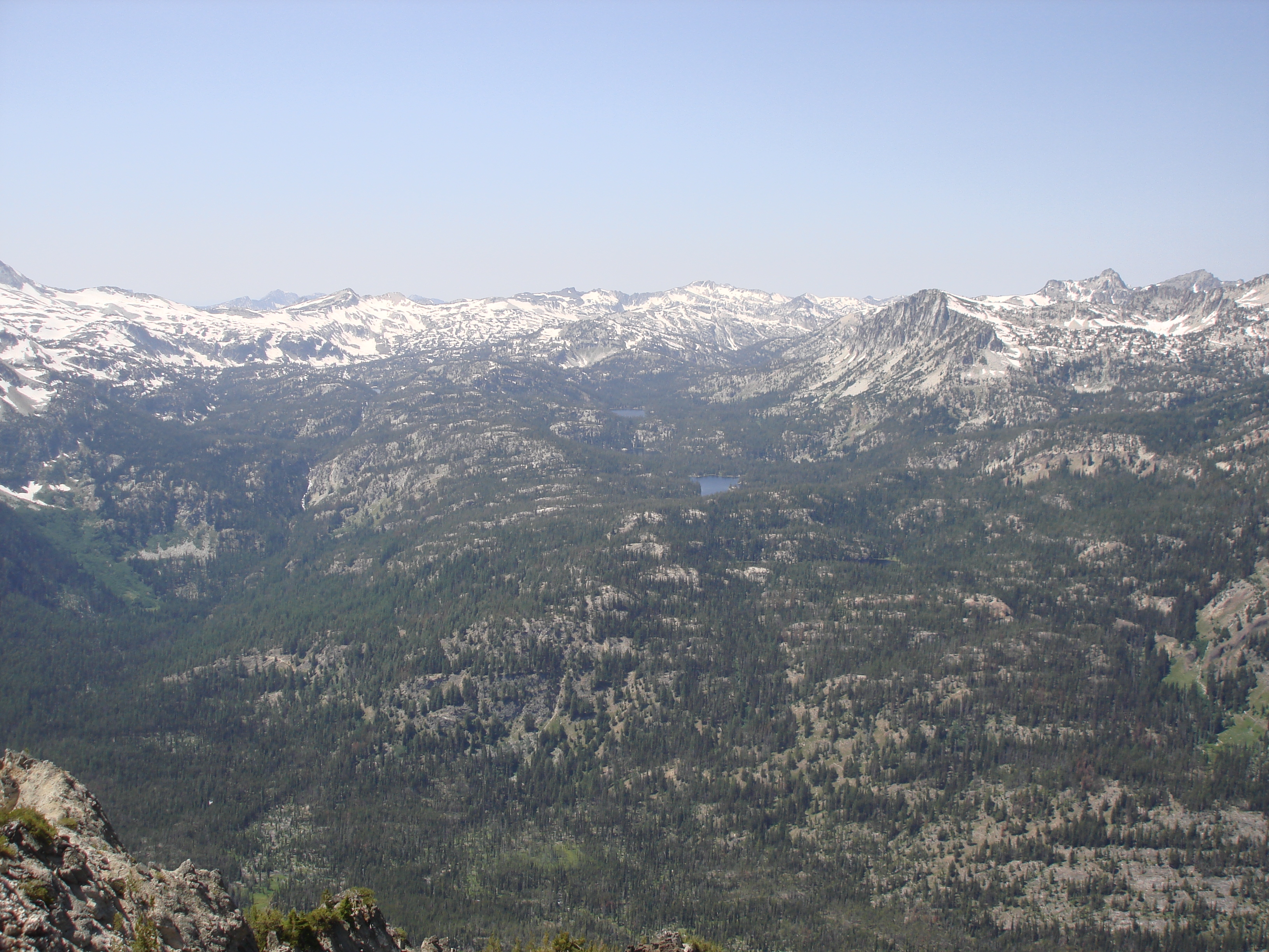
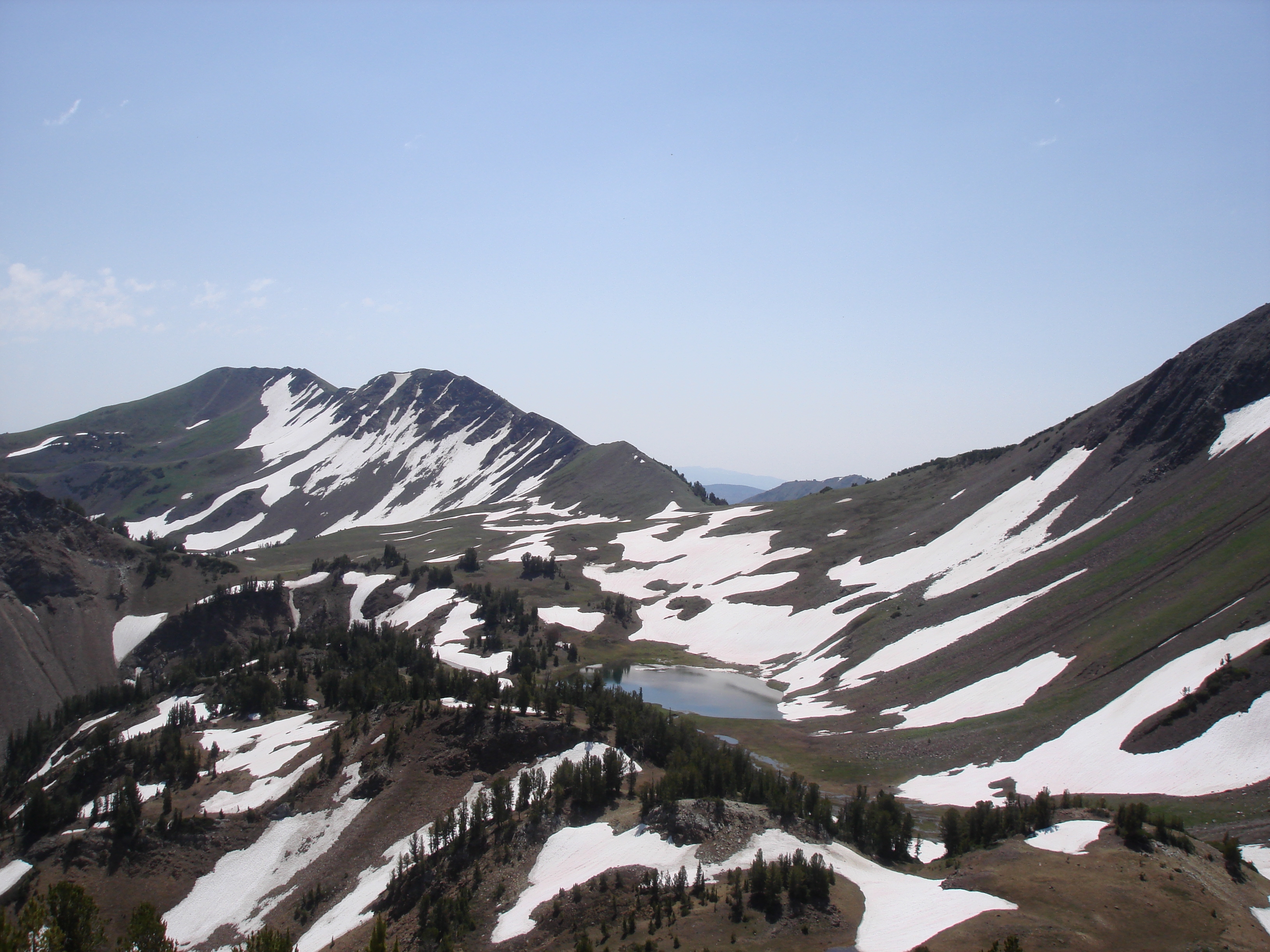
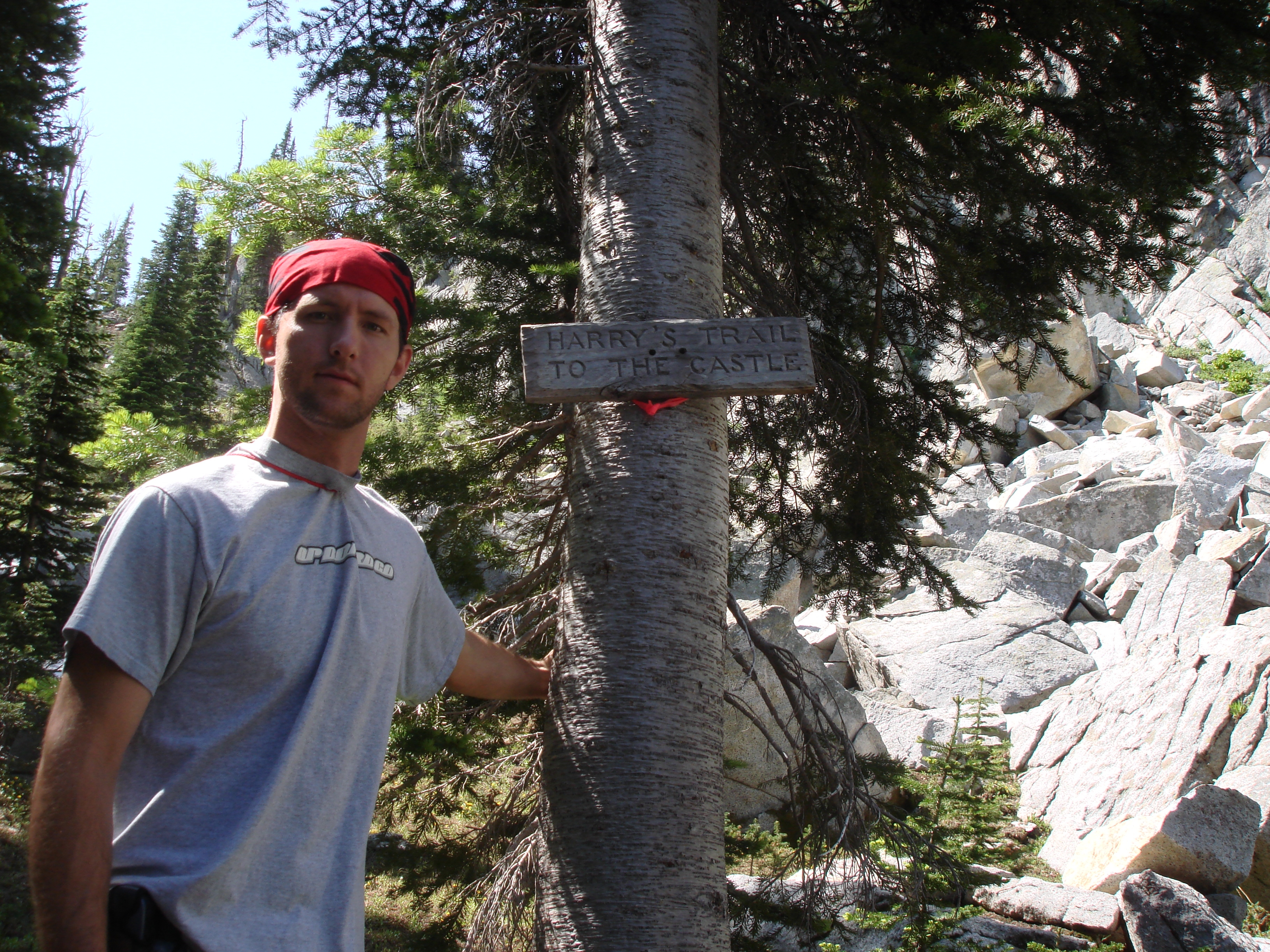
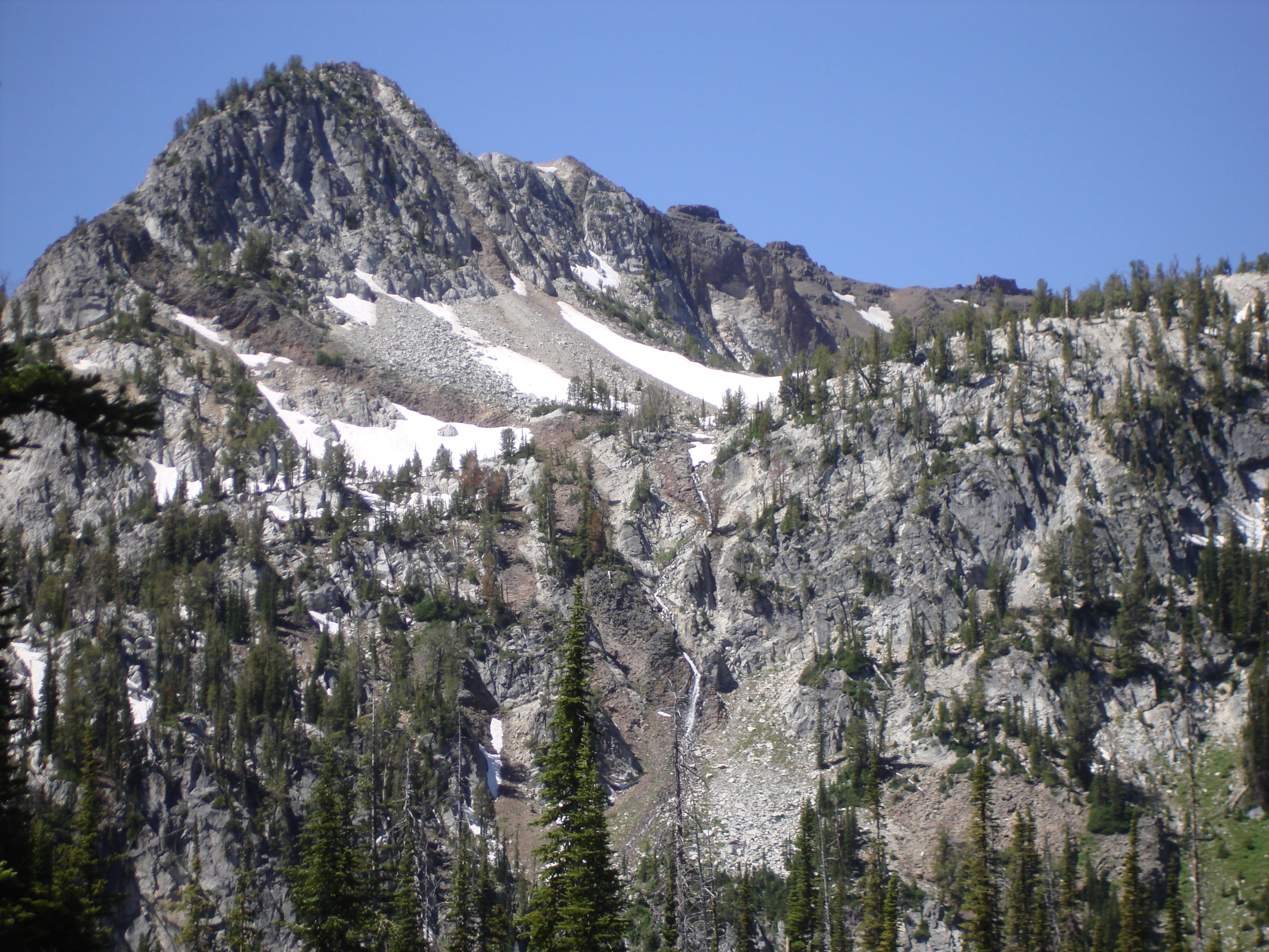
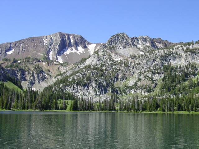
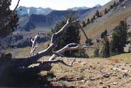
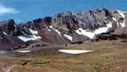
For those of you who want more great views, continue up to Tenderfoot Pass (2 miles past the lake). The trail climbs pretty steadily past the lake, switch backing up a ridge. At one mile past the lake, a trail splits off to the left, which leads to the Bonny Lakes. Stay right. The trail continues through the meadows, which have to be incredible during the midsummer months when they are covered with wildflowers. Anyways, the trail starts climbing past these meadows, and at around 1.5 miles past the fork to Bonny Lakes, the trail reaches Tenderfoot Pass (8,500 feet). Jewett Lake and good views of Aneroid Lake can be easily found by leaving the trail and traveling northwest a short distance. There are only meadows up here, so route finding is pretty easy. The view from atop Tenderfoot Pass is stunning, giving views of the rugged Wallowas on all sides.